Interactive trail map
Pan and zoom along the former railway corridor, opening historic communities and points of interest as you go.
Open interactive map →A picture guide to the Seguin Trail and surrounding area, including trail maps, railway history, photographs and points of interest.
Explore the interactive mapRead the historyBackground: Scotia Junction GTR station, ca. 1910 — William James, City of Toronto Archives, Fonds 1244. Source · CC BY 2.0.
This site grew from a lifelong fascination with the abandoned Ottawa, Arnprior & Parry Sound Railway bed and the places, structures and stories that remain along its route.
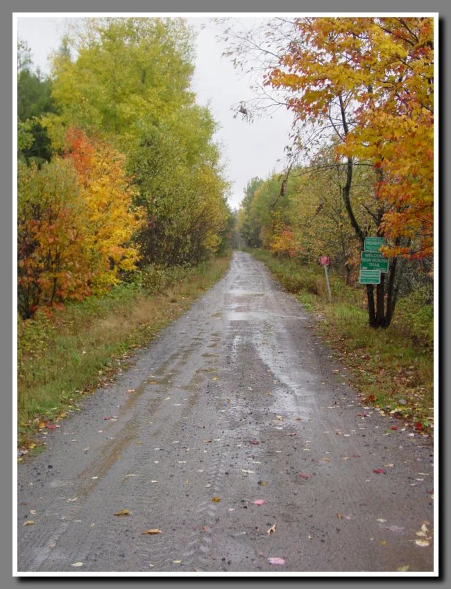
The official Seguin Trail crosses a remarkable landscape of forest, rock cuts, rivers and former railway communities. The material here records many years of exploring that corridor and the surrounding area.
Pan and zoom along the former railway corridor, opening historic communities and points of interest as you go.
Open interactive map →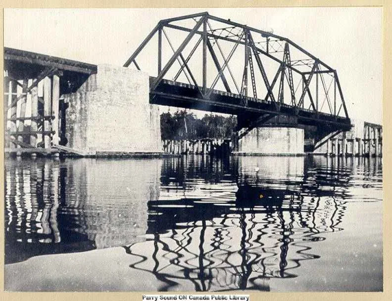
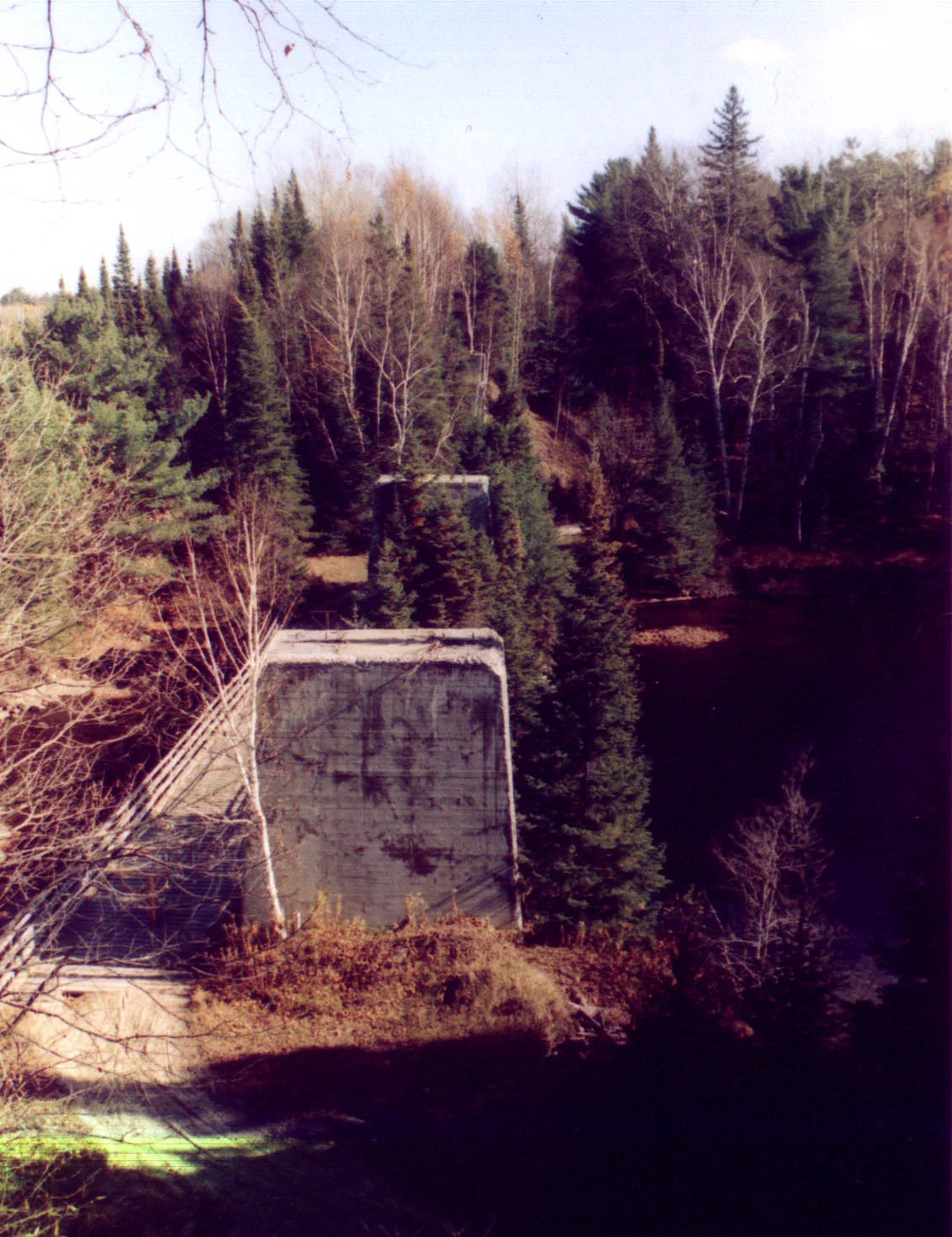
J.R. Booth, Depot Harbour, Swords, old bridges and other remnants of the railway era.
Read history →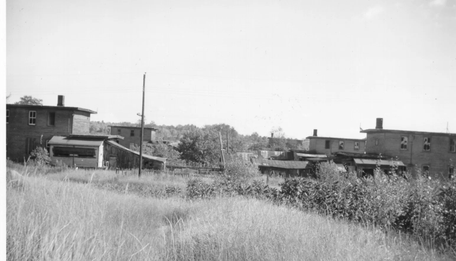
Photographs from the trail, road crossings, historic locations and points of interest.
Open gallery →The Seguin Trail site has been online since 2001. This version preserves the original writing and photographs while making them easier to browse on modern phones and computers.
The original website files, retired pages and legacy material have been preserved separately rather than discarded.
SeguinTrail.ca brings together railway history, communities, historic photographs, maps, documents and present-day places worth exploring along and around the former OA&PS corridor.