The 1879 atlas
Roads, township surveys and settlement patterns before the OA&PS arrived.
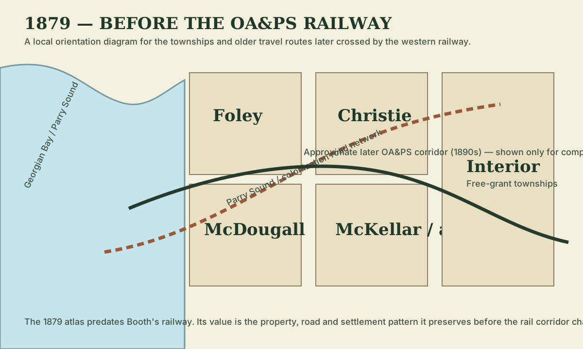
The 1879 Guide Book & Atlas of Muskoka and Parry Sound Districts predates J.R. Booth’s railway. It captures the western district at a useful moment: township surveys and roads were already shaping settlement, but the OA&PS had not yet cut its east-west corridor across the landscape.
Why the 1879 date matters
The atlas is useful precisely because it is early. When later railway maps are compared against these township maps, we can see which roads and settlement patterns already existed and which features appeared only after the railway arrived.
Foley Township
Confirmed atlas location
The 1879 Foley Township map is identified as page 100 of the Guide Book & Atlas of Muskoka and Parry Sound Districts. Heritage-property transcriptions of that map include a Beatty surname in Foley before the OA&PS existed. That is an intriguing clue when researching the later railway stop called Beatty’s, but it is not by itself proof that the station was named for that particular landholder.
Foley sat directly in the western approach to Parry Sound. The township was surveyed before the railway era and contained the older Parry Sound Road network. Decades later, the OA&PS, Falding, James Bay Junction and Rose Point would all be understood against this older surveyed landscape.
McDougall Township
McDougall contained Parry Sound and the western settlement pattern around the Seguin River. The 1879 map is therefore a pre-railway reference for the town’s road and lot geography before the James Bay Railway and Canadian Northern added a new north-south rail system.
Christie Township
Christie is especially relevant farther east around Orrville, Diamond Lake, Swords/Maple Lake and the old Parry Sound Road/Highway 518 corridor. Comparing the 1879 township fabric with the later railway can help separate older farms and roads from railway-era growth.
Original atlas
The complete 1879 atlas is public domain. The external record is provided as provenance and for readers who want all 149 scanned pages.