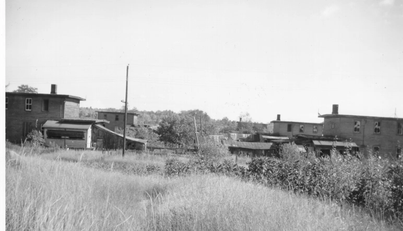
Depot Harbour townsite
Historic town view preserved from the original Seguin Trail archive; original source attribution remains incomplete.
Open related history →Photographs, maps, documents and ephemera preserved locally and connected back to the places and stories they document.
The media archive brings together photographs, maps, documents and ephemera stored with SeguinTrail.ca. Each item is connected to the place or story it helps document, with date, source and rights information recorded wherever known.
Everything displayed here is served locally by SeguinTrail.ca. Outside archive links, where present, are source references rather than image dependencies.
Historic town view preserved from the original Seguin Trail archive; original source attribution remains incomplete.
Open related history →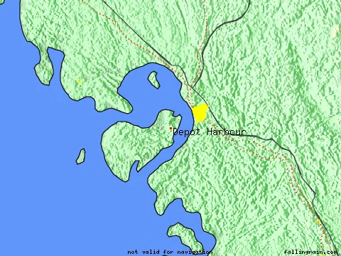
A broad view useful for understanding the relationship between town, railway and harbour.
Open related history →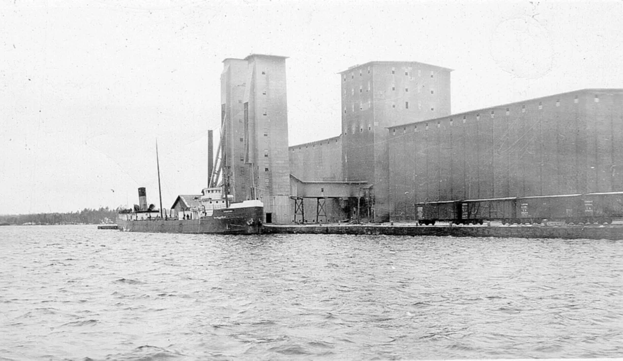
One of the harbour grain-handling images preserved from the original site.
Open related history →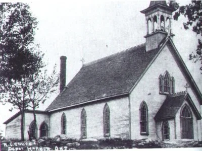
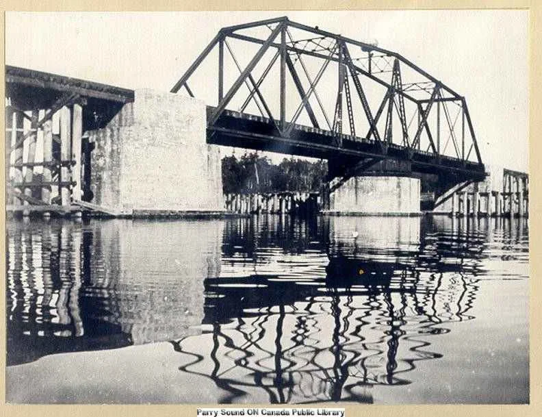
Vintage bridge image preserved locally from the original site.
Open related history →
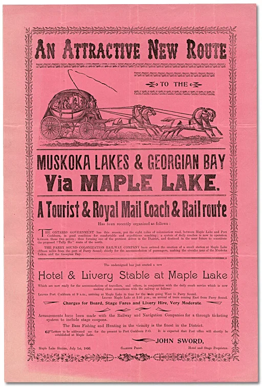
Tourist/coach/rail advertisement showing Maple Lake as a travel destination.
Open related history →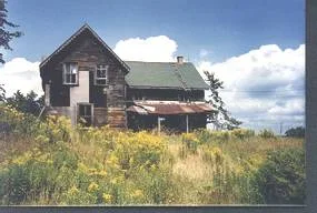
Highway 518 near Diamond Lake; remembered by the site author’s family for the old white horse that lingered around the farm.
Open related history →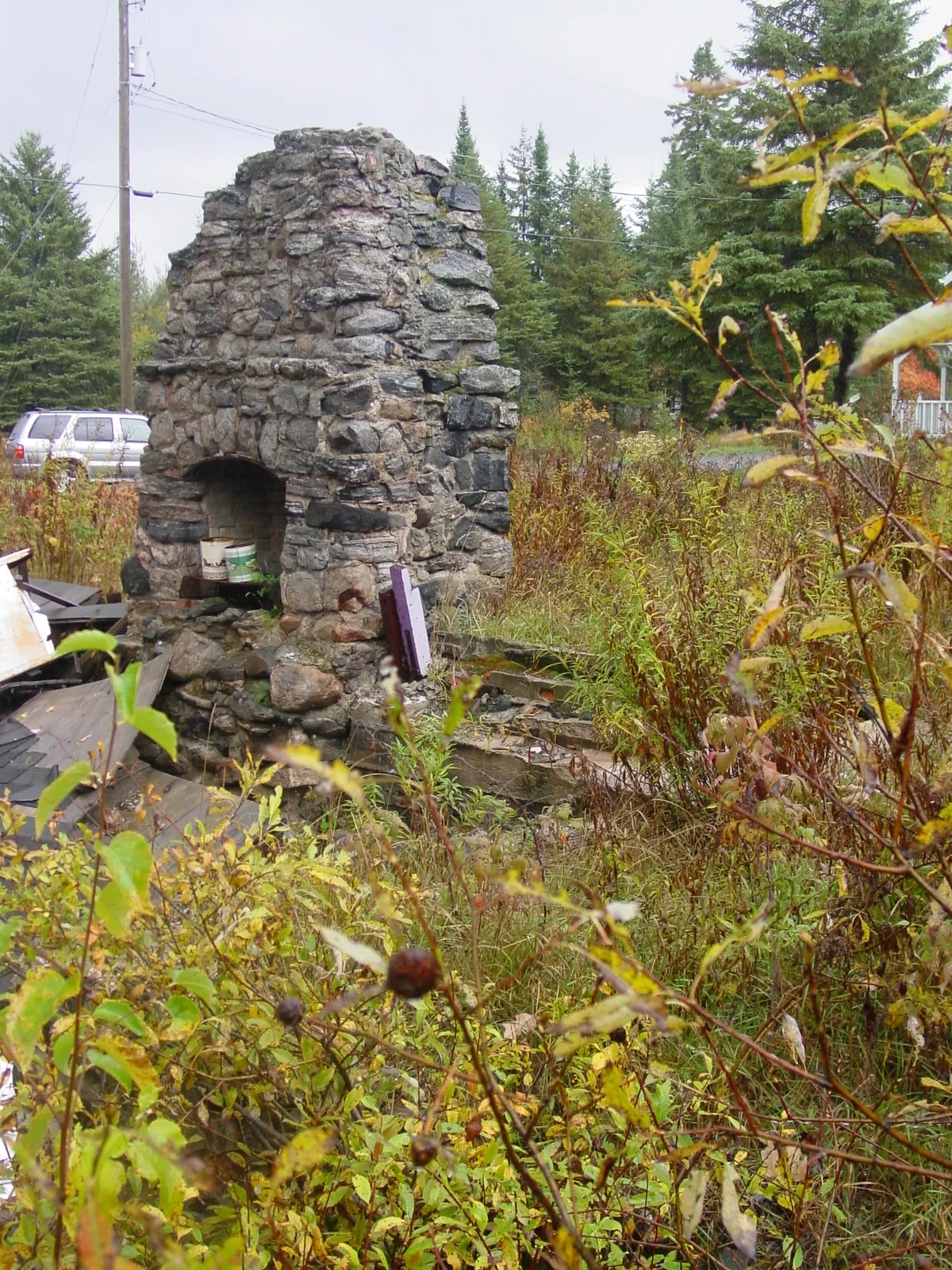
Surviving fireplace/chimney from the King George Hotel site.
Open related history →
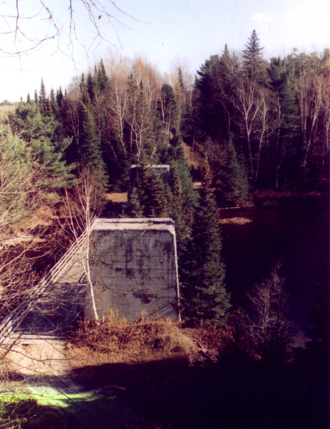
Tall concrete piers at the former Seguin River railway crossing.
Open related history →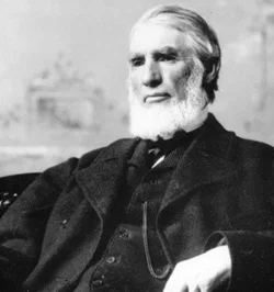
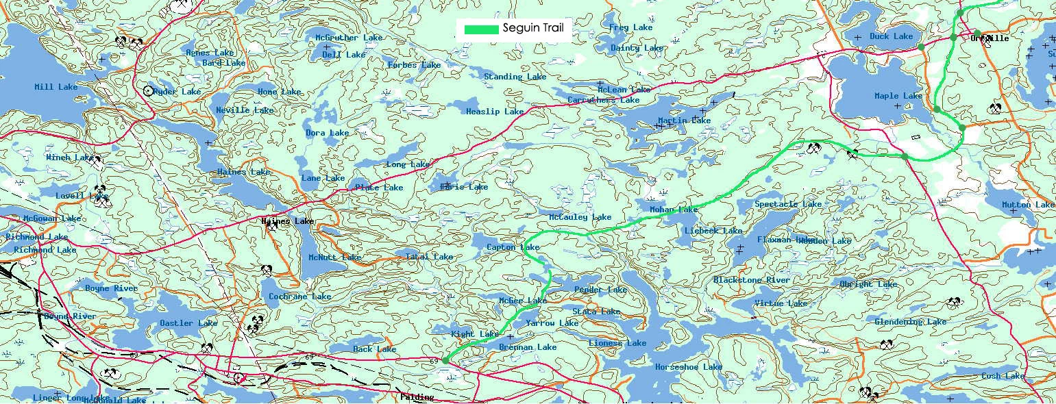
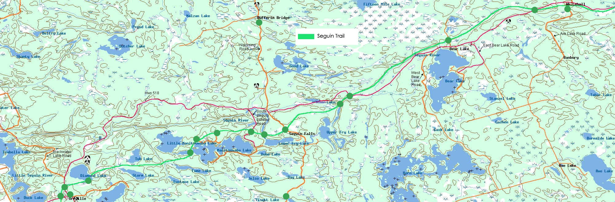
Hand-built Orrville-to-Whitehall map from the original site.
Open related history →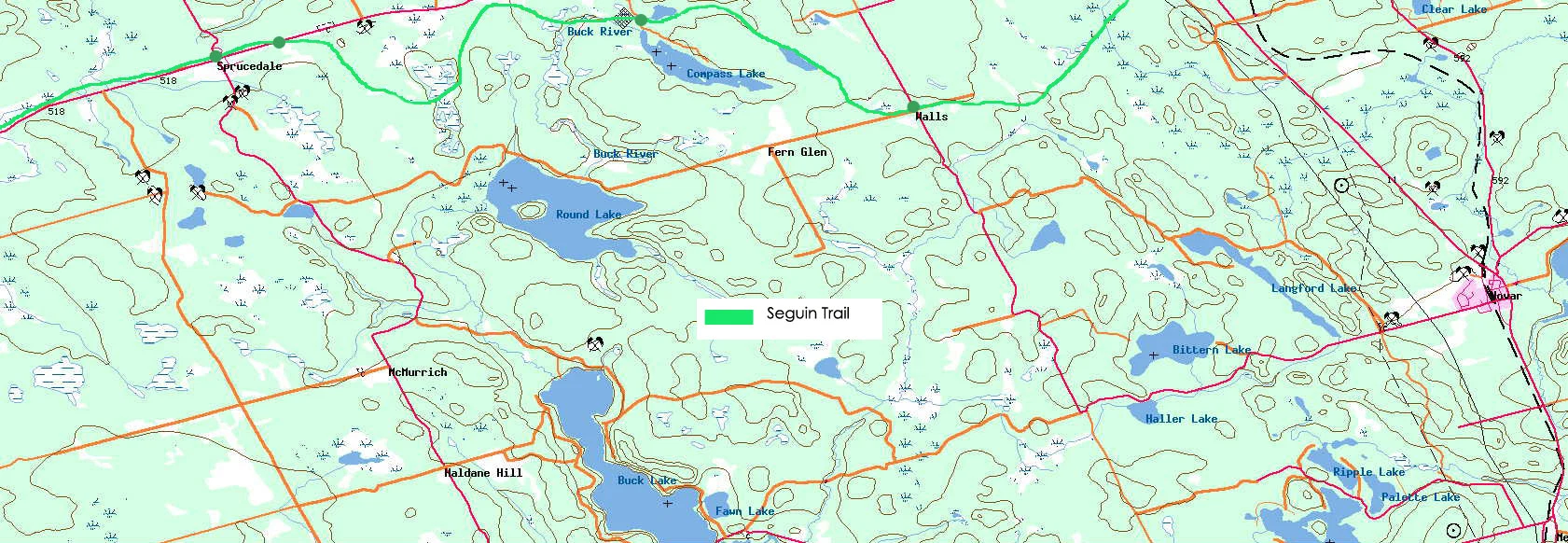
Hand-built Whitehall-to-Walls map from the original site.
Open related history →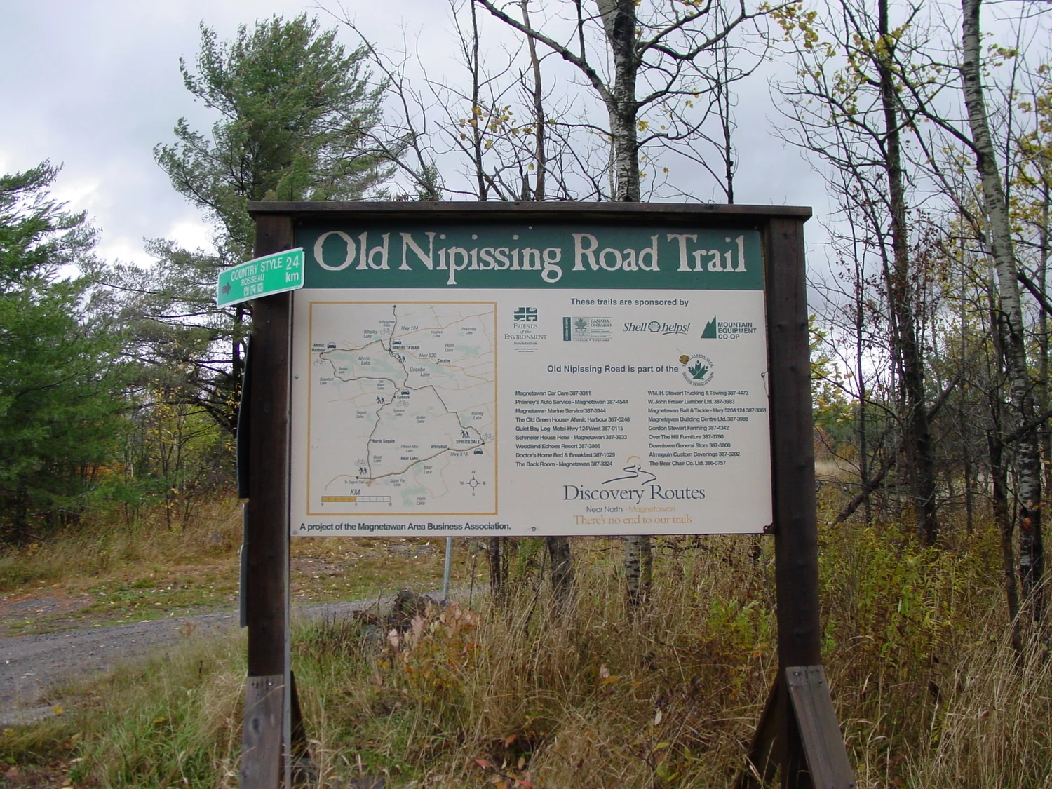
Author photograph preserved from the original website; useful both for its subject and as a record of earlier trail interpretation.
Open related history →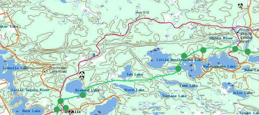
The old map itself is now catalogued as historical site material rather than treated as disposable artwork.
Open Diamond Lake →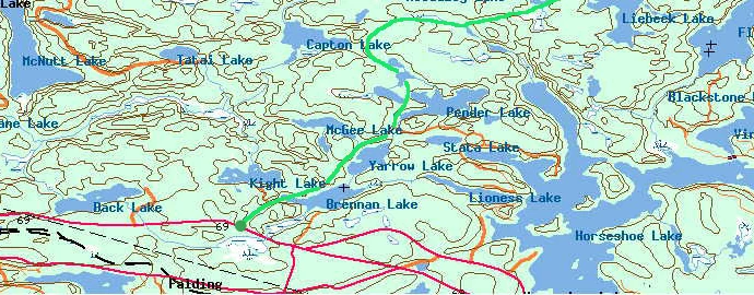
Derived from the author's original hand-built western trail map and retained as both navigation history and site history.
Open Falding →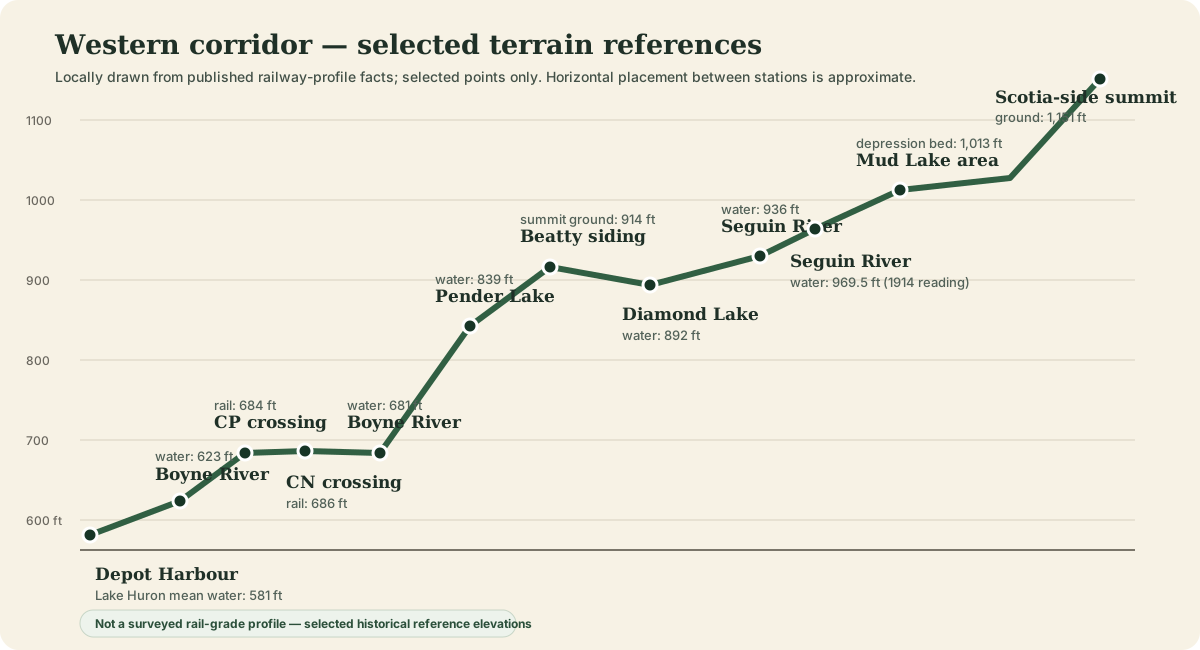
Locally drawn from selected historical elevation facts so the site can explain the railway profile without reproducing the copyrighted 1964 source page.
Open terrain & operations →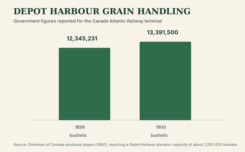
Locally drawn from Dominion government statistics rather than copied from a secondary graphic.
Read the operating history →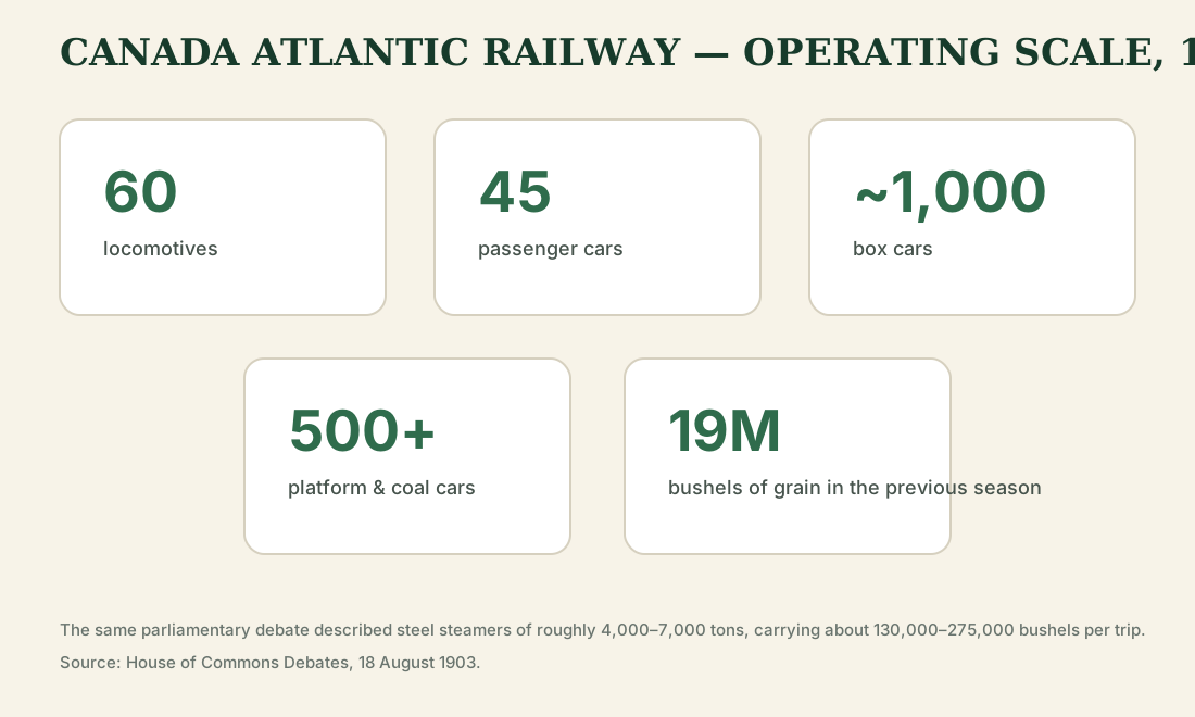
Equipment totals reconstructed from the House of Commons debates.
Read the operating history →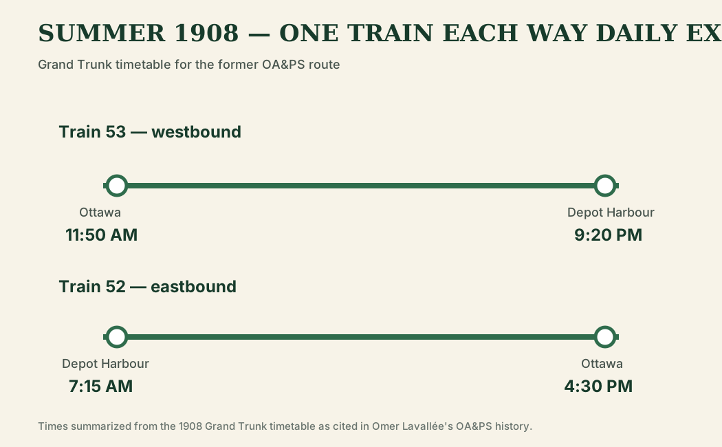
End-to-end times redrawn locally from the published historic schedule.
Read the operating history →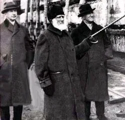
Historic Booth image preserved from the original site archive and connected to the expanded biography.
Open J.R. Booth history →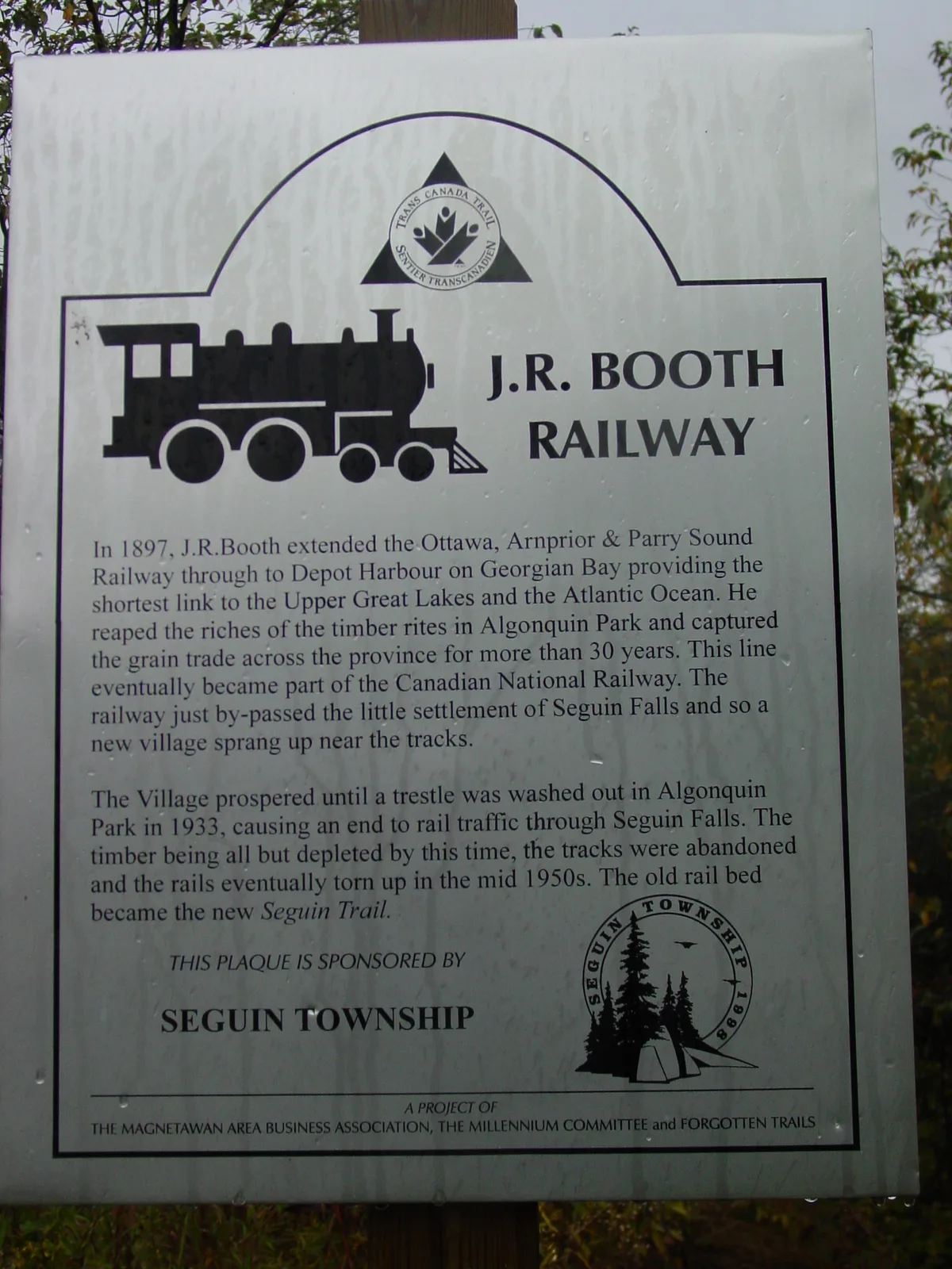
Photographed for the original site in 2004; a record of local railway interpretation as well as the sign itself.
Open J.R. Booth history →