The Old Nipissing Road
An older road beneath the railway story: colonization, settlement, abandonment and the places where routes cross.
Long before the railway and Highway 518, the Rosseau–Nipissing Road pushed north through Parry Sound District as one of Ontario's colonization roads. Near Orrville and Seguin Falls it crosses the same landscape later occupied by the Booth railway, making this one of the most historically layered parts of the corridor.
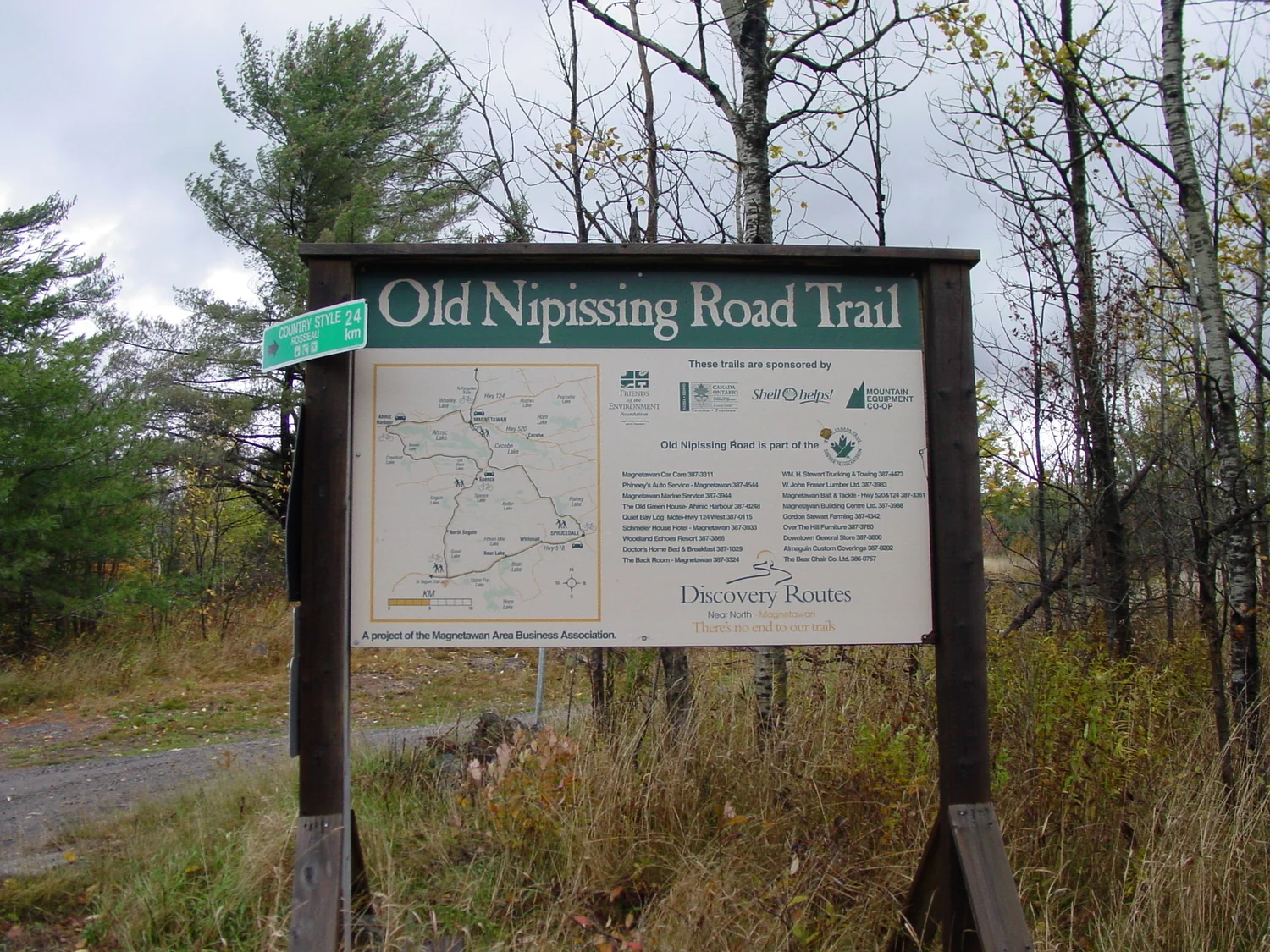
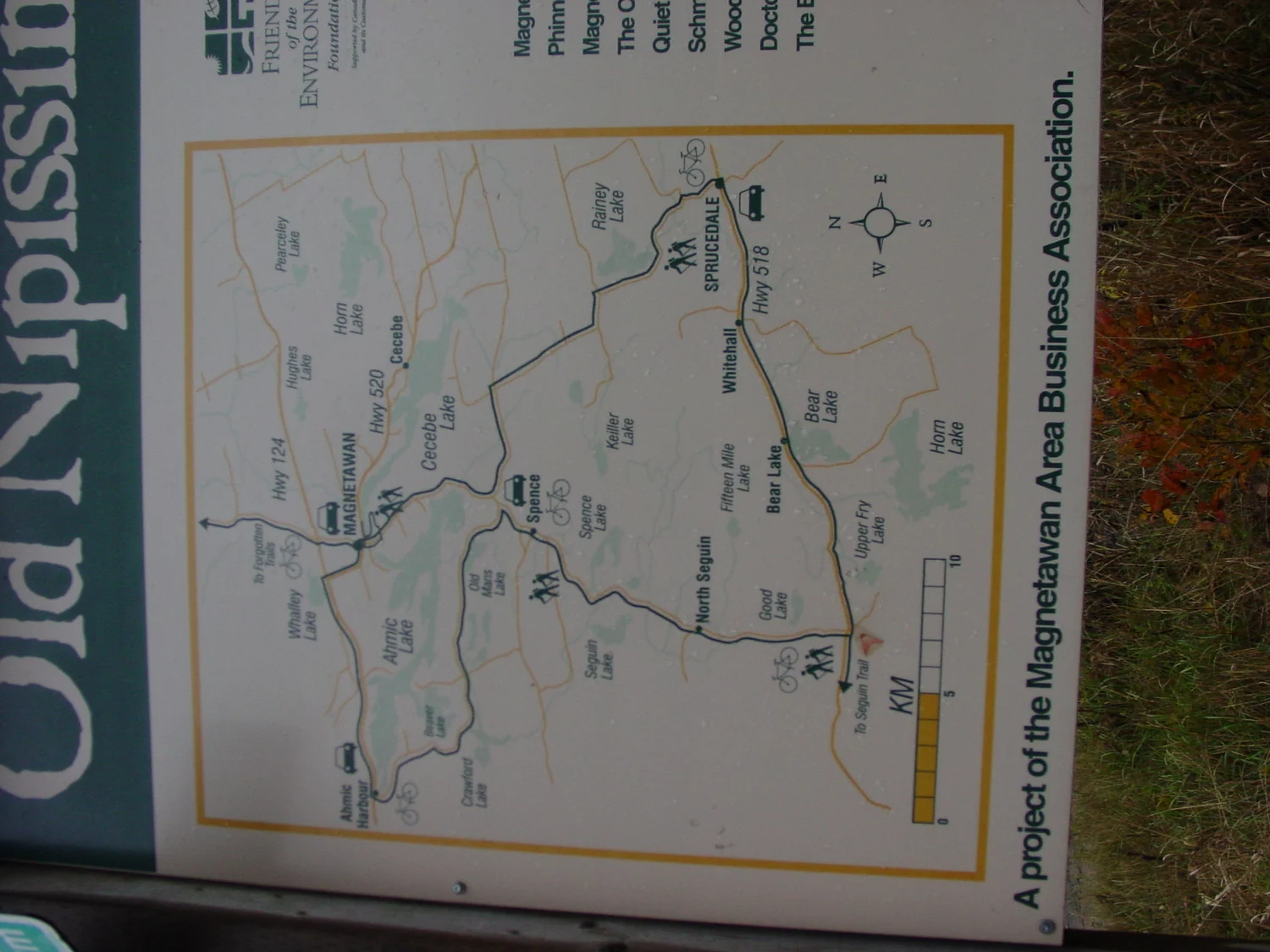
A government road into the interior
The provincial government authorized the Rosseau–Nipissing Road in 1864. Survey work followed in 1864–65 and construction began in 1866. The route ran north from the Lake Rosseau area toward the South River and Nipissing, a distance of roughly 108 km. By the early 1870s it was open for winter traffic and soon became passable to wheeled vehicles.
Like other colonization roads, it was intended to encourage settlement, but the Canadian Shield did not behave like the agricultural paradise described in promotional material. Thin soils, rock, wetlands and distance made farming difficult. Lumbering and transportation often mattered more than agriculture.
Then the railway changed the equation
The north-south railway from Gravenhurst toward Callander arrived in the 1880s and rapidly reduced the Nipissing Road's importance as a long-distance transportation route. A few years later the Parry Sound Colonization Railway and Booth's OA&PS added another east-west rail layer through the district. Around Seguin Falls, the road and railway stories physically cross.
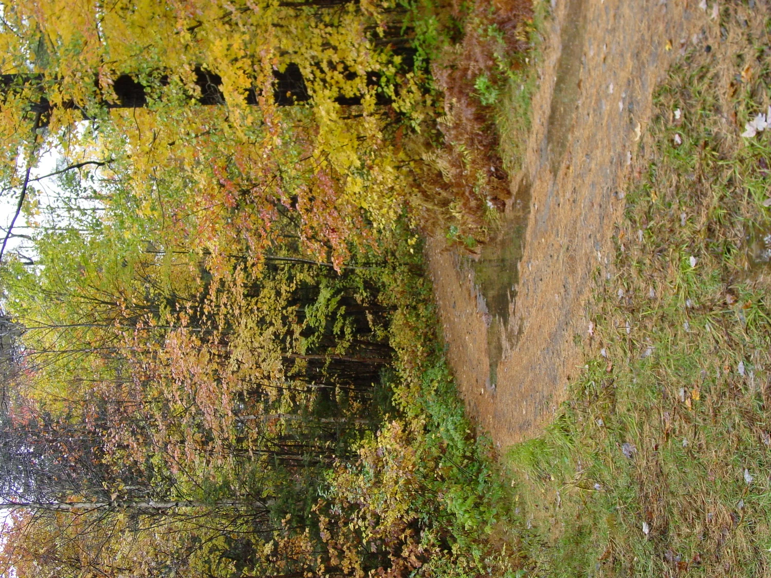
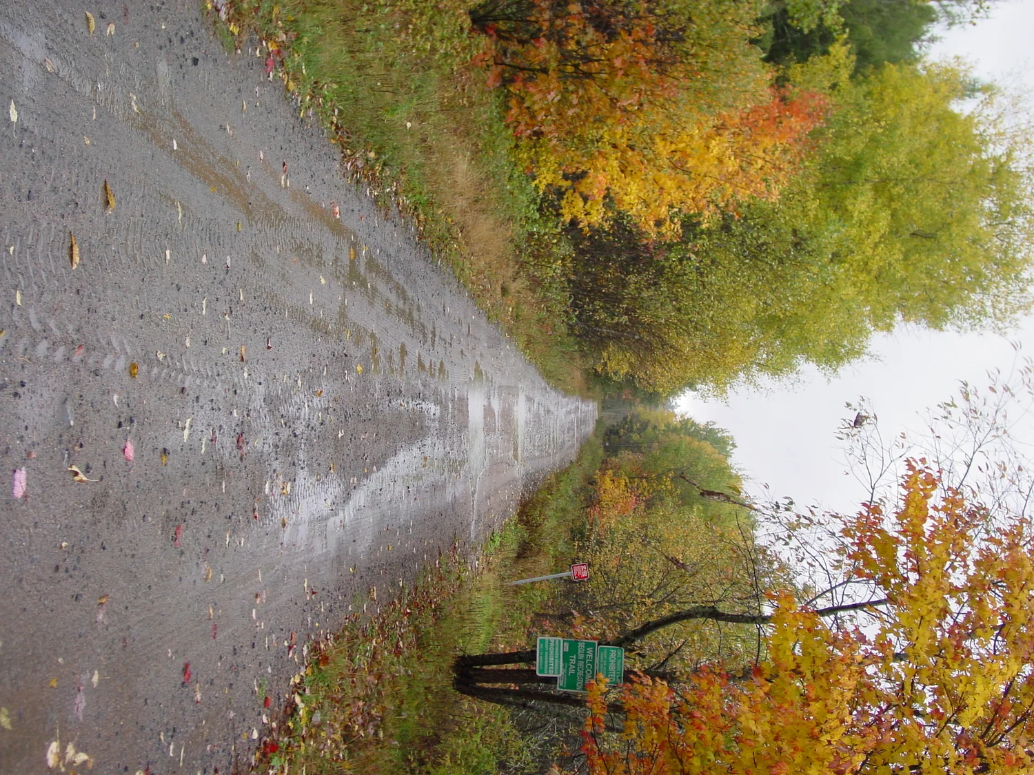
Seguin Falls and Dufferin Bridge
The original site's central map labels Dufferin Bridge north of the railway corridor and identifies the Nipissing Road crossing closer to Seguin Falls. Historic Nipissing Road guides also list both Seguin Falls and Dufferin Bridge as interpretive stops. Rather than reduce those names to map labels, this site will eventually build individual entries with modern photographs, exact coordinates, documentary history and whatever structures or landscape traces remain.
A parallel exploration route
For a visitor interested in the Seguin Trail, the old Nipissing Road is not a competing trail — it is an older historical layer. Exploring the two together helps explain why settlements appeared where they did and how road, rail and later highway networks repeatedly reused the same difficult Shield landscape.
Sources & notes
- Original SeguinTrail.ca Nipissing Road photographs and maps — preserved locally on this site.
- Ontario historical-plaque record: authorization in 1864, survey in 1865, construction beginning in 1866 and early-1870s opening.
- Old Nipissing Road historical materials for named stops such as Seguin Falls and Dufferin Bridge.