James Bay Railway & Junction
What federal railway-plan records tell us about Parry Sound’s changing railway geography.
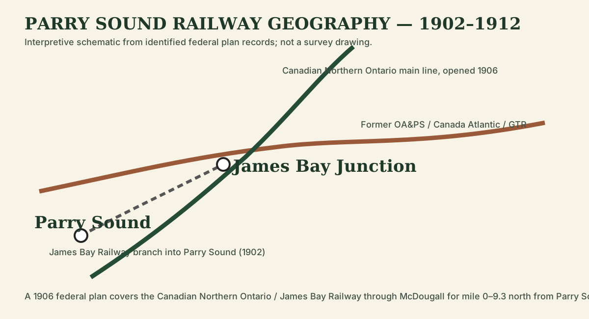
James Bay Junction is one of the places where the western railway story becomes a network rather than a single line. A federal 1906 plan covers the Canadian Northern Ontario / James Bay Railway through McDougall Township for the first 9.3 miles north from Parry Sound, while a 1912 railway-plan index identifies a separate drawing specifically for James Bay Junction in Foley Township.
The earlier Parry Sound connection
The James Bay Railway first provided a branch connection between Parry Sound and the older east-west railway at James Bay Junction. This gave the town direct railway access even though Booth’s main OA&PS terminal had been developed at Depot Harbour.
A second railway geography arrives
The company later became the Canadian Northern Ontario Railway, and its north-south main line through Parry Sound changed the function of the original junction. The 1906 McDougall plan matters because it records the new railway in the landscape; the 1912 junction plan should show the detailed track relationship after the network had matured.
What the archival records prove
- A digitized 1906 railway plan exists for McDougall Township, mile 0–9.3 north from Parry Sound.
- A federal plan index lists “James Bay junction in township of Foley” dated 1912.
- The junction should therefore be reconstructed from railway engineering evidence rather than from a modern basemap alone.
Primary records
- 1906 Canadian Northern Ontario [James Bay] Railway — McDougall Township, mile 0–9.3.
- Federal railway-plan finding aid — item 551 lists James Bay Junction in Foley Township (1912).