Rankins
A small station name with an outsized role in the railway’s westward construction.
Rankins mattered because, for a time, it was the end of the railway. A Canadian National historical synopsis records construction from Scotia to Edgington opening July 1, 1893, Edgington to Rankins opening July 1, 1894, and Rankins to Rose Point opening July 1, 1895.
A one-year construction frontier
The western section inherited from the Parry Sound Colonization Railway did not simply spring into existence. The recorded opening dates show the railhead advancing west in stages. When the Edgington-to-Rankins section opened in 1894, Rankins represented the western limit of operating railway until the next section opened toward Rose Point in 1895.
That gives Rankins a significance larger than the size of the place itself. For roughly a year it marked the point where completed railway met active construction — the temporary edge of a project racing toward Georgian Bay.
Where was it?
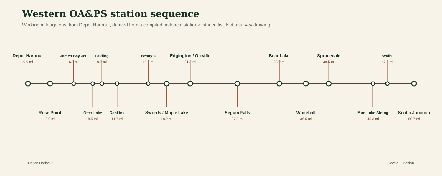
The station sequence places Rankins between Falding and Beatty’s. Its current interactive-map marker is therefore a reconstruction from station order and mileage, not a claimed survey coordinate. A primary track chart, station plan or land record is still needed to pin down the exact site.
Do you have a photograph of Rankins station area?
We have useful maps and documentary material for this location, but additional historic or present-day photographs would make this page and its map hotspot much stronger. Contributions are moderated before publication.
Sources & research trail
- Canadian National / predecessor-company historical synopsis recording the 1893–1895 construction openings.
- Compiled station-distance list preserving Rankins in the western station sequence.