Walls
A small railway-era name near Scotia Junction that remains visible in the local geography.
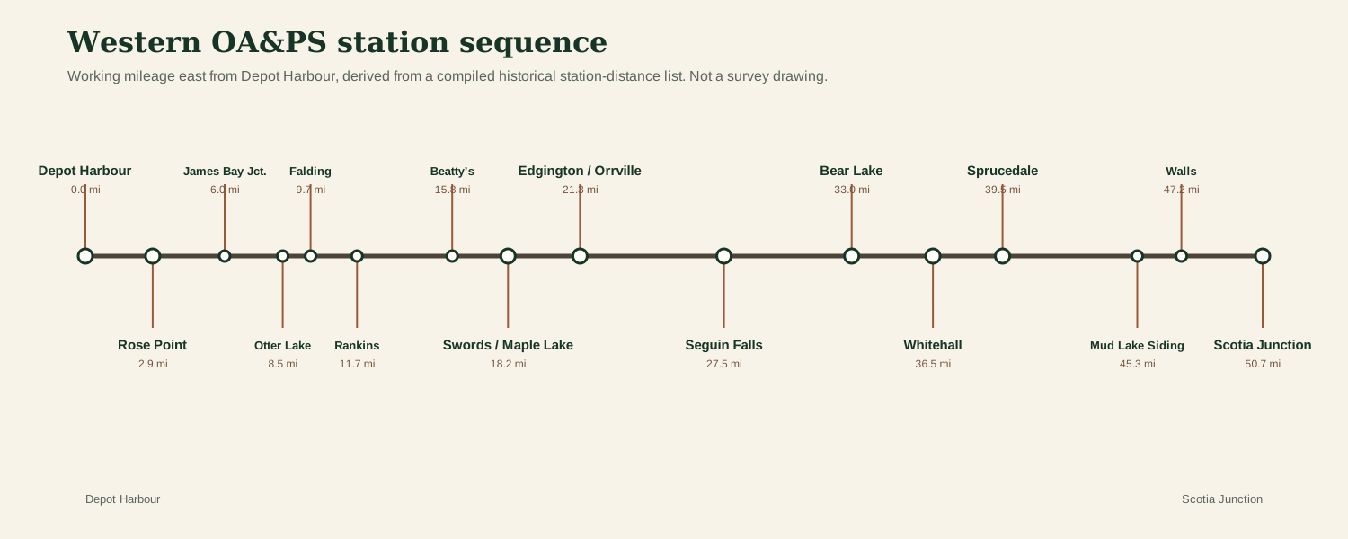
Walls survives as both a locality name and a railway-era name. Historical station summaries place it between Scotia Junction and Mud Lake on the western railway sequence.
Near the Scotia end of the western corridor
Walls sits close to Scotia Junction in the station sequence, with Mud Lake between Walls and Sprucedale. Modern geographic references still preserve the Walls locality in the Parry Sound district, but that does not automatically identify the exact location of a former platform, siding or station structure.
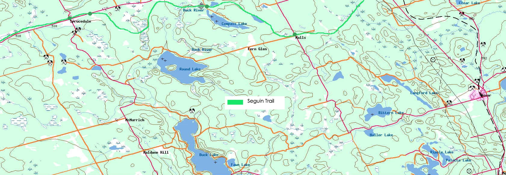
For the rebuilt map, Walls is therefore shown as a historical/locality point while the railway footprint has not yet been identified from a primary track plan. The distinction matters: a settlement coordinate is not necessarily a station coordinate.
Do you have a photograph of Walls railway locality?
We have useful maps and documentary material for this location, but additional historic or present-day photographs would make this page and its map hotspot much stronger. Contributions are moderated before publication.
Sources & research trail
- Compiled station-distance list, western OA&PS sequence.
- Canadian and Ontario geographic/locality records preserving the Walls name.
- Original SeguinTrail.ca map, preserved locally.