Market on the Green
Seguin Township lists the Village Green as the site of a Saturday farmers' market during the summer season. Current dates should be checked before a special trip.
One community, several names, and a railway station that briefly sat at the western edge of J.R. Booth's expanding line.
Orrville is one of the best places on the western corridor for seeing how roads, post offices, railway stations and community names overlapped. Federal geographical-name records still preserve Edgington as a formerly official station name while Orrville is the official community name today.
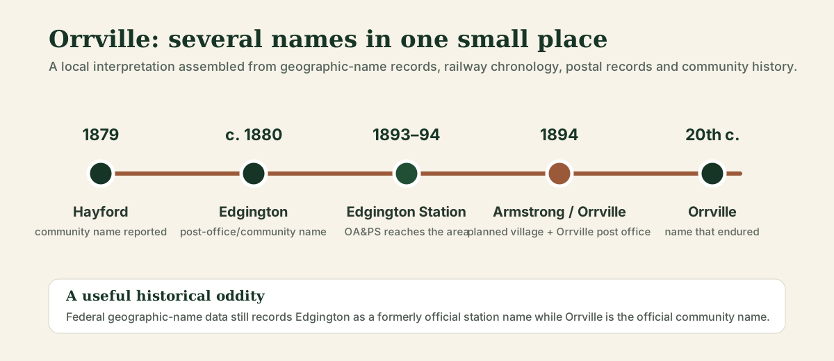
The Orrville area lay in the older colonization-road landscape east of Parry Sound. A secondary local-history source records the place as Hayford in 1879 and says it was renamed Edgington around 1880 by postmaster John Edgington. The federal geographical-names database independently preserves Edgington as the former station name, which confirms that the name was more than a later reminiscence.
J.R. Booth's western railway construction reached Edgington from Scotia in 1893. Canada Atlantic corporate chronology records the Scotia–Edgington section, about 30 miles, as completed and opened on July 1, 1893. The next ten-mile section from Edgington to Rankin opened a year later. For that interval, Edgington effectively stood at the advancing western end of the line.
Railway-station research also identifies Edgington among the OA&PS stations built during the Tomlinson brothers' large 1890s station program. A surviving photograph reproduced by the present-day Edgington Station shop shows a substantial wooden railway building; this site does not reproduce that photograph because its reuse status is not yet clear.
Local community history records another layer of names in 1894. Development plans were drawn for a village called Armstrong around Edgington Station. The Edgington post office was moved into John Orr's hotel and renamed Orrville Post Office. The result was an unusual period when the same small place could be described as Orrville Post Office, Edgington Station and the Village of Armstrong. Orrville is the name that ultimately survived.
A separate Ontario place-name summary also says the community was renamed Orrville in 1894 after early settler John Orr. The details come from secondary local-history sources rather than one single surviving municipal order, so the wording here preserves the distinction between documented railway/postal records and community history.
Federal Post Office records from the early 1900s list a mail route explicitly as “Edgington and Orrville.” The contractor is recorded as J. Edgington. That small entry is useful because it shows the two names functioning side by side in an official government record rather than one name simply replacing the other overnight.
The Beatty surname is a familiar one in the broader Parry Sound district and, in the site author's local memory, around Orrville as well. An 1878/79 Foley Township map transcription contains a Beatty landholder, while a geological report places the former railway stop called Beatty's in neighbouring Christie Township, about two miles west of Maple Lake/Swords. There is not yet enough evidence to say which Beatty gave the stop its name, but the local surname is a serious research lead rather than a random coincidence.
Read the Beatty's station evidence →
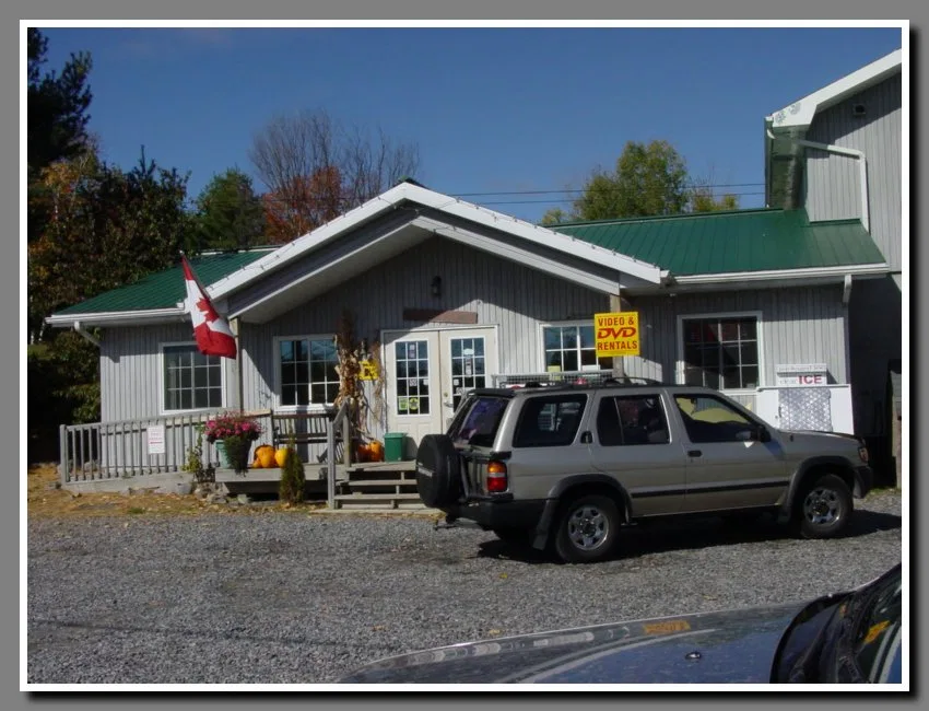
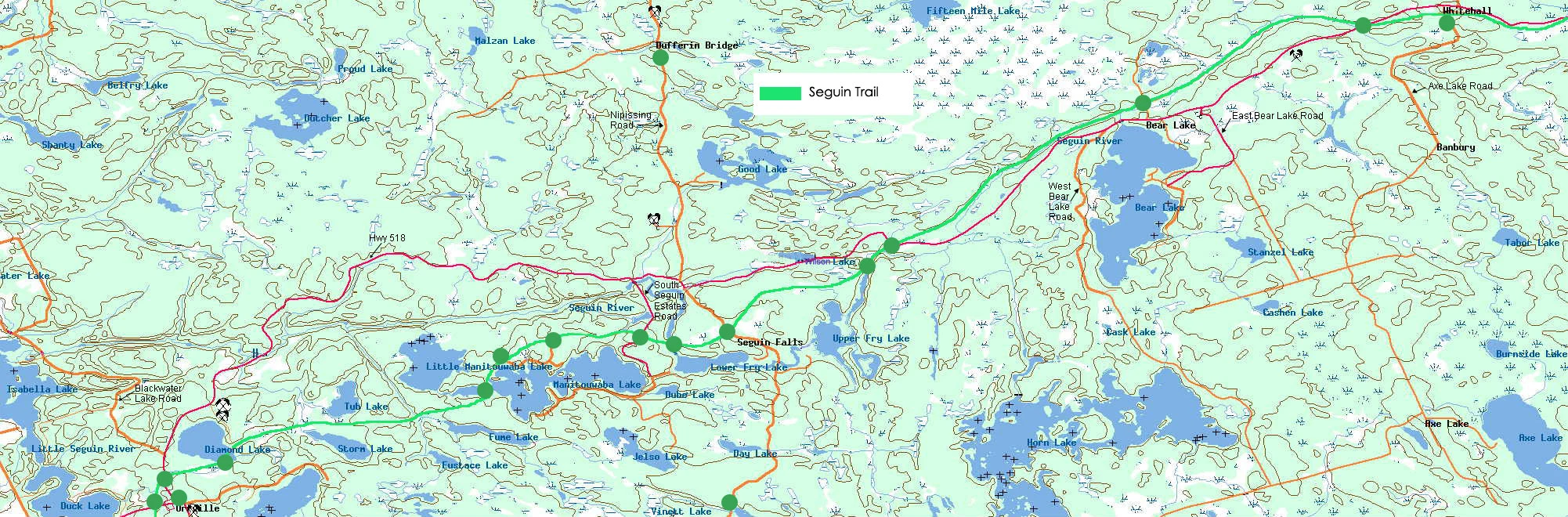
The community still clusters along Highway 518 close to the old railway grade. The Orrville Community Centre at 1207 Highway 518 includes the Christie Branch of Seguin Public Libraries and remains a local gathering place. The Village Green at 1231 Highway 518 hosts the seasonal Market on the Green. A locally operated antiques and artisan shop deliberately uses the name Edgington Station, keeping the railway name visible in the village more than a century later.
Seguin Township lists the Village Green as the site of a Saturday farmers' market during the summer season. Current dates should be checked before a special trip.
A seasonal antiques and artisan shop at 1236 Highway 518 uses the old station name and publishes a concise local account of the village's naming history.