Beatty’s
A documented Grand Trunk-era station west of Maple Lake, with a 1907 railway-archive lead still being investigated.
Beatty’s, Rankins, Otter Lake, Walls, Mud Lake and James Bay Junction — names that help reconstruct how the railway worked.
Not every railway name became a village. Between the better-known communities were platforms, sidings, junctions and tiny stopping places that can disappear almost completely once the railway is gone. This section gives those names a place in the record.
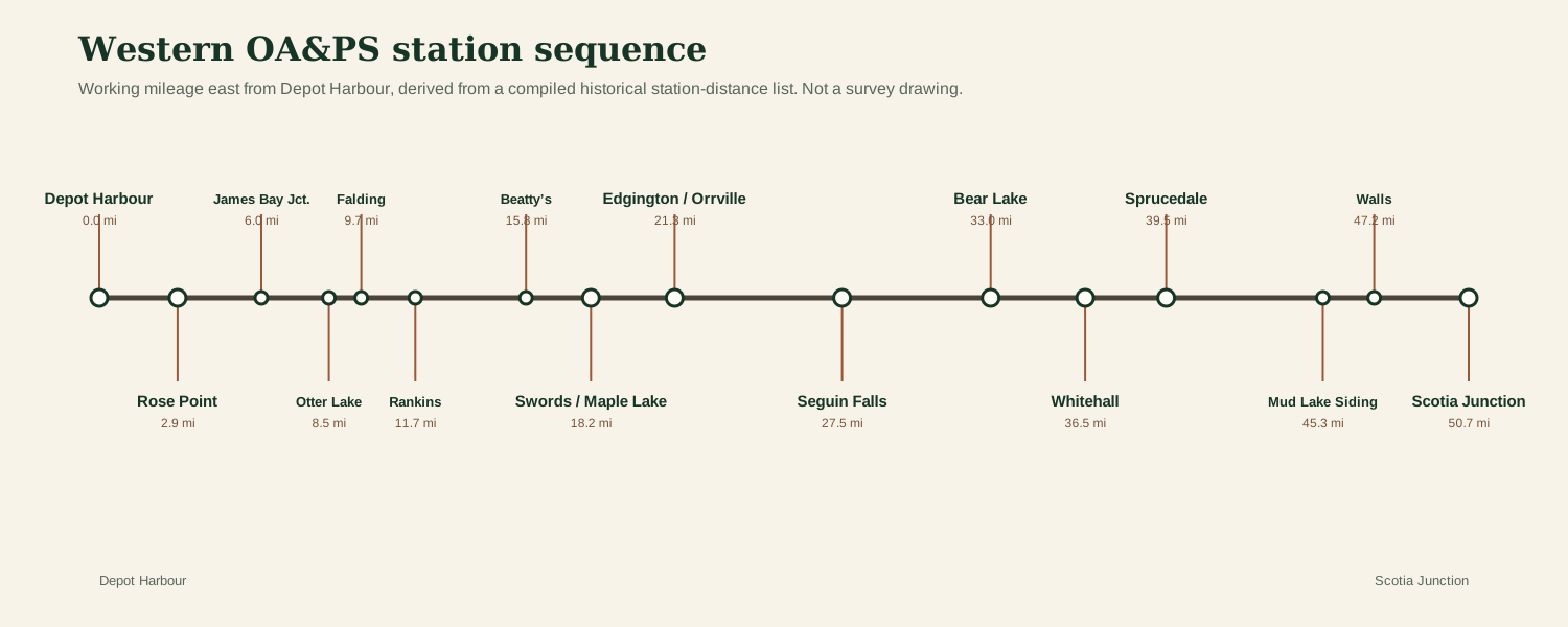
A timetable name can represent many different things: a staffed station, a flag stop, a siding, a mill spur, a junction, a postal locality, or simply a place railway employees needed to identify. Their importance is not measured by the size of the station building. Together they explain how trains actually moved through the western end of the OA&PS.
A documented Grand Trunk-era station west of Maple Lake, with a 1907 railway-archive lead still being investigated.
A construction-era milestone: the western railway reached Rankins in 1894 before pushing onward toward Rose Point.
A railway point shared by two railway systems, and one of the best-documented minor names near Falding.
The place where Parry Sound finally obtained a direct railway connection to the old Canada Atlantic/OA&PS line.
A later railway/locality name near the eastern edge of this site’s western-corridor coverage.
A siding name preserved in station lists and railway profile material between Walls and Sprucedale.
Where the documentary record is strong, the site says so. Where a marker is reconstructed from mileage and station order, it is explicitly labelled approximate. The goal is to improve the map as track charts, land plans, employee timetables and field evidence are found.